Aerial drone threats are one of today's fastest-growing security concerns, used for surveillance, contraband delivery, and disruption. XGen Mobile helps you deploy a proven drone-detection platform that detects and tracks drones and their pilots in real time, and arms your security team with live data about everything flying over your property. We bring the solution, guide the rollout, and support it after.

See drones the moment they enter your airspace and follow the track in real time on a live map.
Where possible, locate the operator on the ground, not just the drone, so your team can respond at the source.
Remote ID, radio frequency, radar, and camera work together to see threats a single method would miss.
The platform takes a passive, detection-only approach designed to respect airspace rules and turn awareness into action.
Cameras and fences protect the ground. Drones fly right over them. As small, low-cost drones become more capable, the airspace above your facility is a blind spot that ground security cannot cover. The drone-detection solution we bring closes that gap with continuous, real-time awareness of your airspace.
Live detection and tracking as drones enter your airspace
Locate the aircraft and, where possible, the operator
A complete platform, delivered and supported, not a science project for your team
The platform watches your airspace around the clock
A layered system that turns raw airspace signals into a clear picture your security team can act on.
Multiple sensor layers continuously scan your airspace and flag a drone the moment it appears, day or night.
Follow the drone's path in real time on a live map and, where possible, pinpoint the pilot's location on the ground.
Your security team gets live alerts and airspace data to make the right call and coordinate a fast, informed response.
No single sensor sees every drone. The platform we deliver fuses complementary layers so you get the widest, most reliable coverage of your airspace.
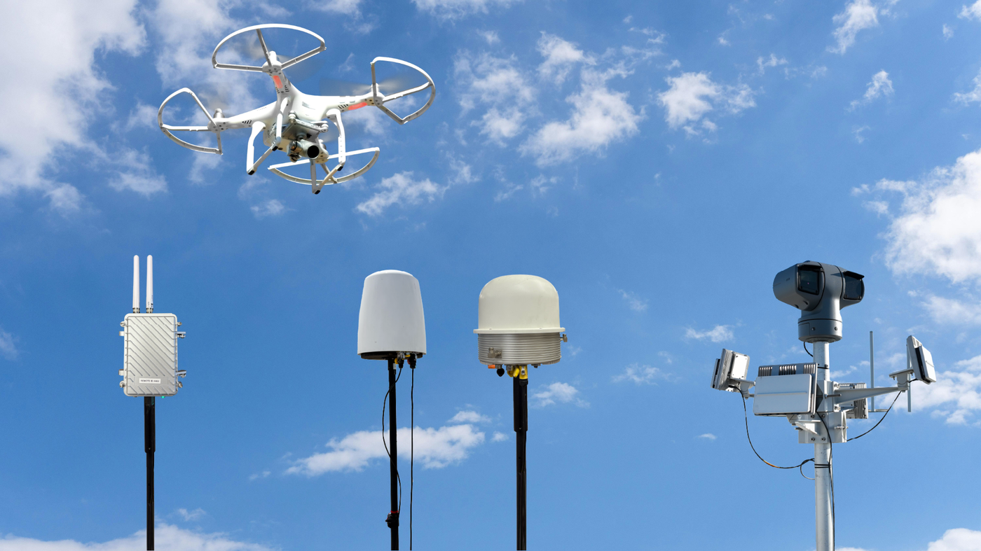
Read the broadcast identification that many drones transmit to detect and identify compliant aircraft in your airspace.
Detect the radio link between a drone and its controller, and use direction finding to help locate the operator.
Track drones by their movement, including models that do not broadcast or use a conventional radio link.
Visually confirm and classify a detection so your team acts on a verified threat, not a false alarm.
Go beyond the drone: where possible, pinpoint the operator so security can address the source of the threat.
See every track in real time on one map, with alerts routed to your security team the moment a drone appears.
A drone that hides from one sensor rarely hides from all of them. By combining Remote ID, RF and direction finding, radar, and camera into a single picture, the platform gives your team a live, reliable view of the airspace, and a track they can follow from the moment a drone appears to the moment it leaves.
Complementary layers catch what any single method would miss, from compliant drones to those that stay quiet.
Cross-confirming detections across layers means your team responds to real threats, not noise.
Real-time tracks, history, and alerts your team can use to make decisions and document what happened.
Wherever people gather or sensitive operations run, unauthorized drones are a growing risk. XGen Mobile helps you put proven airspace security over the sites that need it most.
Keep unauthorized drones clear of runways, approaches, and airfield operations.
Protect crowds and airspace over spectator sports, concerts, and large gatherings.
Watch the skies over utilities, energy, transport, and other high-value sites.
Stop drone-delivered contraband before it reaches the perimeter.
Give agencies real-time airspace awareness for operations and public events.
Guard against surveillance and disruption over offices and corporate sites.
Protect campus airspace over dorms, events, and research facilities.
Secure the airspace over any site where safety and continuity matter.
Book a demo and we'll show how the platform spots a drone, tracks it in real time, helps locate the pilot, and puts live airspace data in your security team's hands. XGen brings the solution and stays with you through deployment and support.